createIntermediateRasters
Introduction
This utility uses two input DEMs (i.e. raster files of digital elevation models) located at the exact same spatial position but at different elevation and calculates a specified number of raster DEMs located at equidistant distance between them (i.e. for n=1, one new raster located precisely in the middle will be created).
Usage
   createIntermediateRasters --file1 <file1.asc> --file2 <file2.asc>
                             -o <output.asc> [-n <int>]

Where:

   --file1 <file1.asc>
     (required)  First DEM-raster file

   --file2 <file2.asc>
     (required)  Second DEM-raster file

   -o <output.asc>,  --output-file <output.asc>
     (required)  Raster output file (*.asc)

   -n <int>,  --number <int>
number of rasters to be calculatedThe parameter n determines how many layers are created between the two input layers. If the parameter is not specified the default value is set as n=1.
Simple example
Input data:
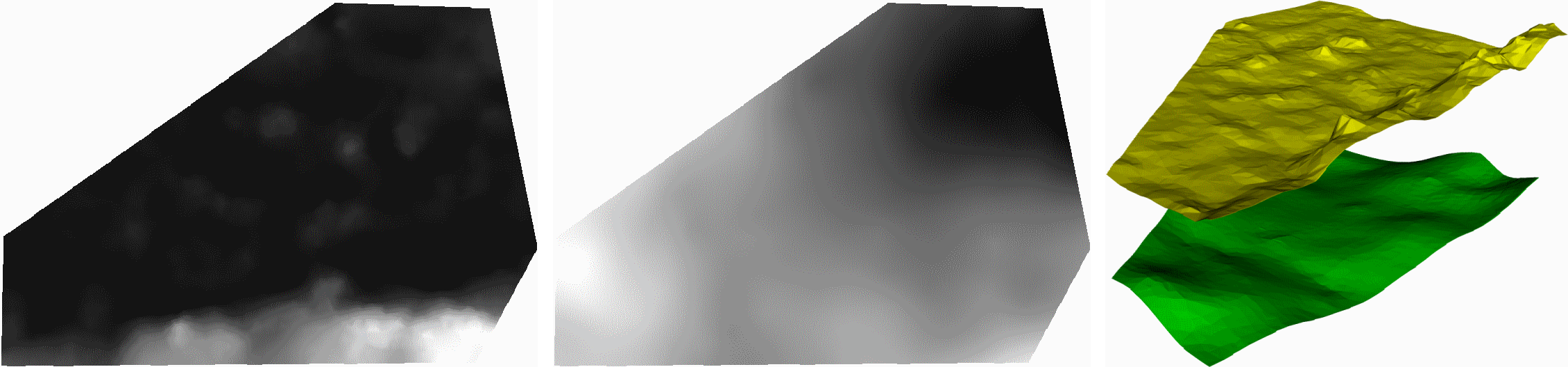
Command:
createIntermediateRasters --file1 raster1.asc --file2 raster2.asc -o output.asc -n 1
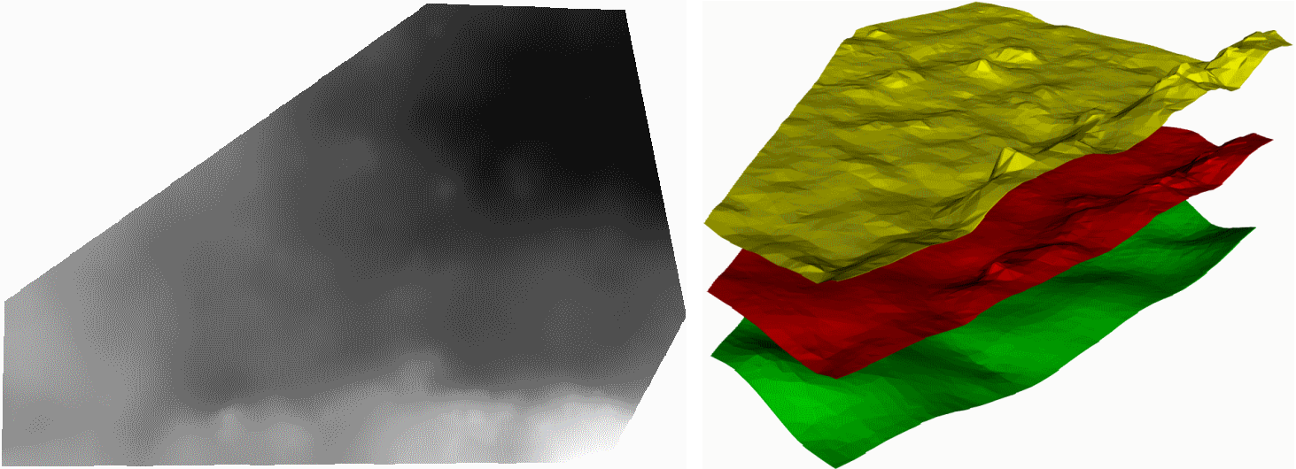
Command:
createIntermediateRasters --file1 raster1.asc --file2 raster2.asc -o output.asc -n 2
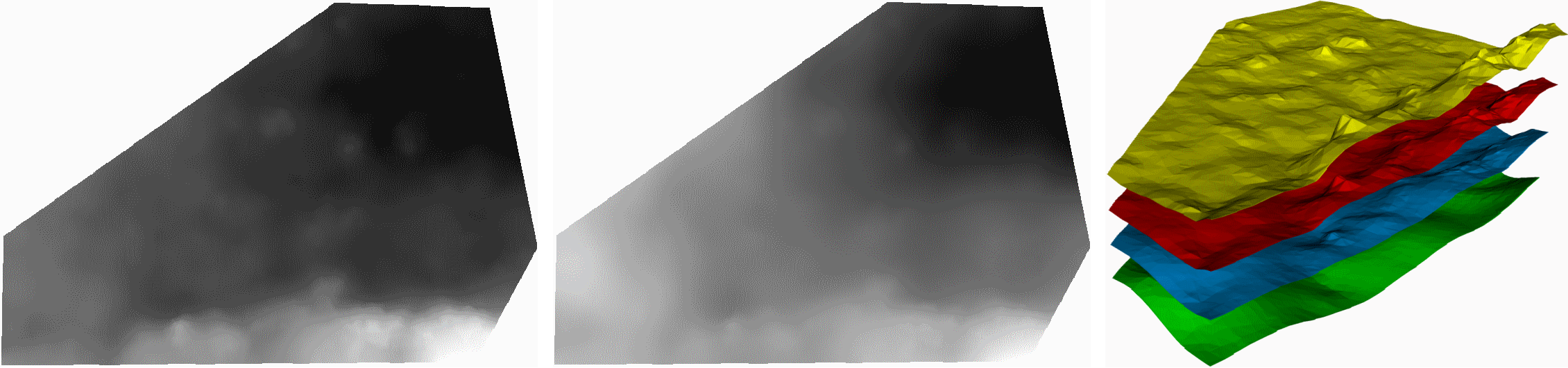
n>1 multiple rasters are created at equidistant distances between the two input rasters. For n=2, two new rasters are generated, represented here in red and blue.
Application
This utility allows to generate additional input data when creating a bulk mesh from geometry and raster layers. The existing layer structure given via raster files can be refined to avoid deformed elements if the resolution in x-/y-direction is significantly more detailed than in z-direction.
This article was written by Karsten Rink. If you are missing something or you find an error please reach out
to us on our forum.
Generated with Hugo 0.164.0
in CI job 825193
|
Last revision: April 20, 2026
Commit: refactor(MeshLib): remove PropertyVector::push_back 870422dde
| Edit this page on