geometryToGmshGeo
Introduction
The tool geometryToGmshGeo takes OGS geometries (GML files) and creates a Gmsh
.geo file. The user can specify several command line arguments to influence the
creation procedure. A list of the arguments as well as a description of each
argument can be obtained with the --help option.
Usage
geometryToGmshGeo --input <input file name> --output <output file>The --input argument is accepted multiple times.
Simple examples
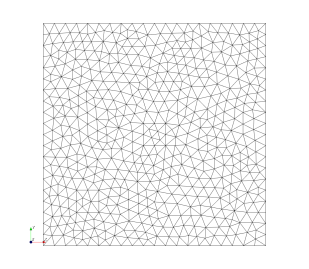
First Example: Simple Geometry
First, the Gmsh geometry file is create from the GML file square_1x1.gml :
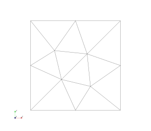
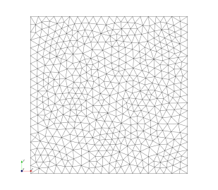
geometryToGmshGeo -i square_1x1.gml -o /tmp/square_1x1.geo --mesh_density_scaling_at_points 0.05Then, the Gmsh geometry can be meshed:
gmsh /tmp/square_1x1.geo -2 -algo meshadapt -format msh22 -o /tmp/square_1x1.msh
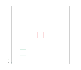
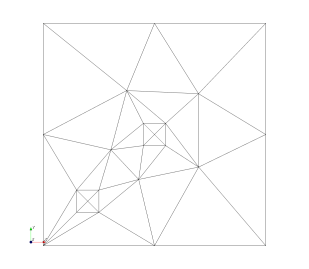
Second Example: Simple Geometry with Additional Geometrical Information
First, the Gmsh geometry file is create from the GML files
geometryToGmshGeo -i square_1x1.gml
                  -i square_0.15_0.25x0.15_0.25.gml
                  -i square_0.45_0.55x0.45_0.55.gml
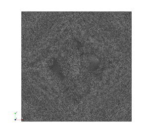
-o /tmp/square_1x1.geo --mesh_density_scaling_at_points 0.5Then, the Gmsh geometry can be meshed:
gmsh /tmp/square_1x1.geo -2 -algo meshadapt -format msh22 -o /tmp/square_1x1.msh
This article was written by Thomas Fischer. If you are missing something or you find an error please reach out
to us on our forum.
Generated with Hugo 0.164.0
in CI job 825193
|
Last revision: April 20, 2026
Commit: refactor(MeshLib): remove PropertyVector::push_back 870422dde
| Edit this page on