Mesh2Shape
Introduction
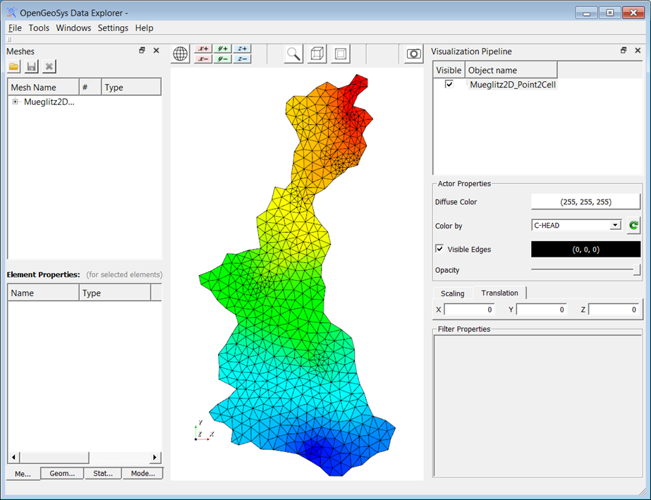
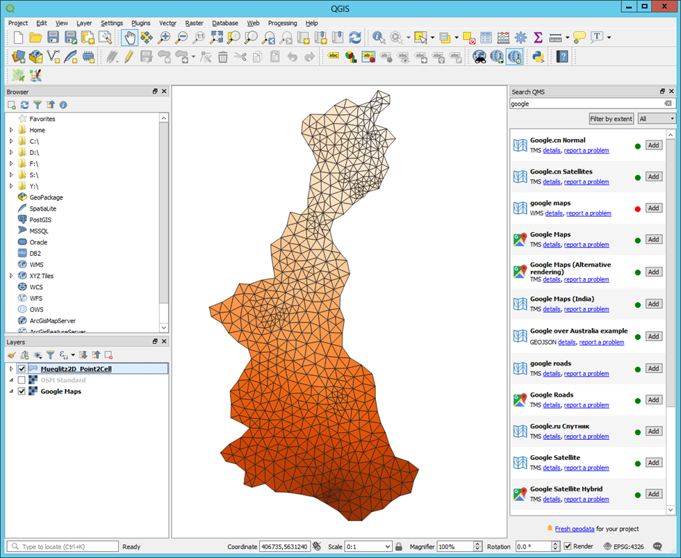
Converts a 2D surface mesh into a Shapefile such that each element is represented by a polygon. Cell attributes are transferred onto shape polygons while point attributes are ignored.
Usage
   Mesh2Shape  -i <input_file.vtu> -o <output_file.shp>


Where:

   -i <input_file.vtu>,  --input-file <input_file.vtu>
     (required)  OGS mesh file (*.vtu, *.msh)

   -o <output_file.shp>,  --output-file <output_file.shp>
(required) Esri Shapefile (*.shp)Simple example
Input data:
Command:
Mesh2Shape -i Mueglitz2D_Point2Cell.vtu -o Mueglitz2D_Point2Cell.shp
Application
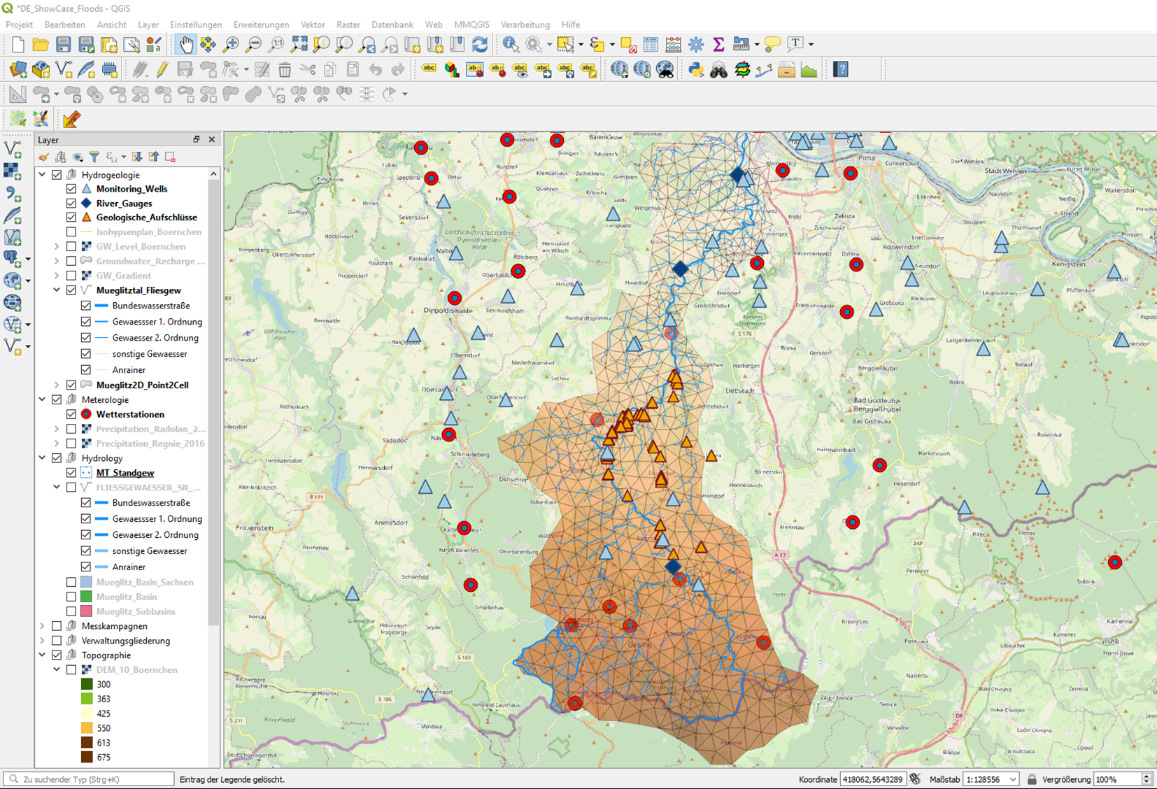
The utility allows to export meshes, and in particular simulation results, into existing GIS-projects and use the data as input for subsequent workflows.
This article was written by Karsten Rink. If you are missing something or you find an error please reach out
to us on our forum.
Generated with Hugo 0.164.0
in CI job 825193
|
Last revision: April 20, 2026
Commit: refactor(MeshLib): remove PropertyVector::push_back 870422dde
| Edit this page on